Digital Commonwealth — New Bedford Free Public Library
Newfoundland
[ca. 1860–1939]
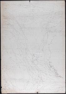
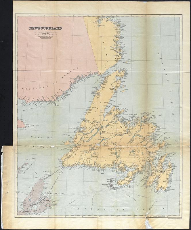
Color map of Newfoundland, including the coasts of Quebec and Labrador and Cape Breton Island. Place identifications focus on the coast, includes rail lines and telegraph lines as well as a proposed steamboat route from Newfoundland to Cape Breton Island.
🔒
Order museum-quality prints
Sign in to order prints, canvas, and more of this work. Browsing and full-resolution downloads stay free.