Digital Commonwealth — New Bedford Free Public Library
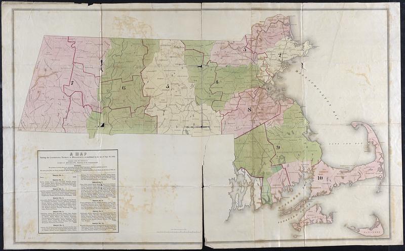
A Map showing the congressional districts of Massachusetts as established by the act of Sept. 16, 1842
Bigelow, John P. (John Prescott), 1797-1872 · 1842
Color map of Massachusetts congressional districts, includes county and town boundaries, key to the towns in each district with population numbers
🔒
Order museum-quality prints
Sign in to order prints, canvas, and more of this work. Browsing and full-resolution downloads stay free.