Digital Commonwealth — New Bedford Free Public Library
Maury's Wind and Current Chart
Maury, Matthew Fontaine, 1806-1873 · [1845–1850]
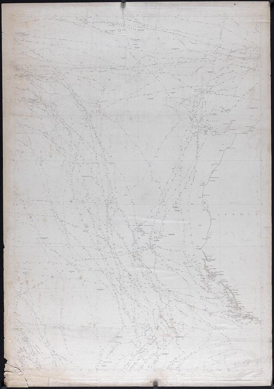
Untitled sheet from the 1st or 2nd edition of Maury's Wind and Current Chart. Includes the courses of several US Navy ships in the Atlantic Ocean, near the North Western coast of Africa, including Cape Verde, the Canary Islands, and the Azores. Each route is dated and markings along each note the direction of the wind. Ships shown are: The Peacock, Constellation, Constitution, Potomac, Brandywine, Lexington, Fairfield, Guerriere, Vincennes, Independence, Congress, United States, St. Louis, Cyane, Ontario, and John Adams.
🔒
Order museum-quality prints
Sign in to order prints, canvas, and more of this work. Browsing and full-resolution downloads stay free.