Digital Commonwealth — New Bedford Free Public Library
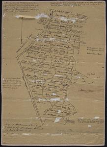
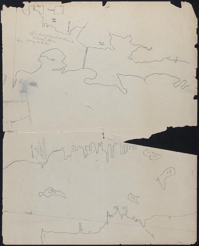
Upper part of Acushnet River to Bellville Road
[ca. 1860–1939]
Hand drawn map of the coastline of the Acushnet River and the south end of New Bedford. This map is very basic and shows very little information, drawn by an unknown surveyor.
🔒
Order museum-quality prints
Sign in to order prints, canvas, and more of this work. Browsing and full-resolution downloads stay free.