Digital Commonwealth — New Bedford Free Public Library
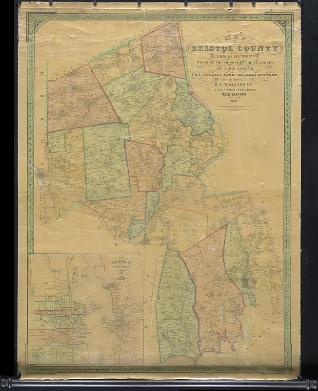
Map of Bristol County Massachusetts
1851
Color map of Bristol county based on the trigonometrical survey of the state, the details from original surveys, under the direction of H.F. Walling C.E., C.U.A. Taber Publishers, New Bedford. Includes major routes, topographic features, and names of the landowners. Inset map of New Bedford and Fairhaven downtown areas with more detailed structures and sounding depths of Buzzards Bay/Acushnet river. Large rolled map on coated paper attached to wooden supports
🔒
Order museum-quality prints
Sign in to order prints, canvas, and more of this work. Browsing and full-resolution downloads stay free.