Digital Commonwealth — New Bedford Free Public Library
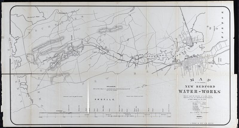
Map of the proposed New Bedford Waterworks
1864
Map of the proposed New Bedford Waterworks prepared under the direction of a joint special committee of the city government for the introduction of pure water into the city. Includes some topographic information, streets, and structures. Proposed plan has a reservoir in Freetown's A. Whites Pond with a damn at the south end leading into a aqueduct that runs through Acushnet to a receiving reservoir near the station of the New Bedford & Taunton Railroad.
🔒
Order museum-quality prints
Sign in to order prints, canvas, and more of this work. Browsing and full-resolution downloads stay free.