Digital Commonwealth — New Bedford Free Public Library
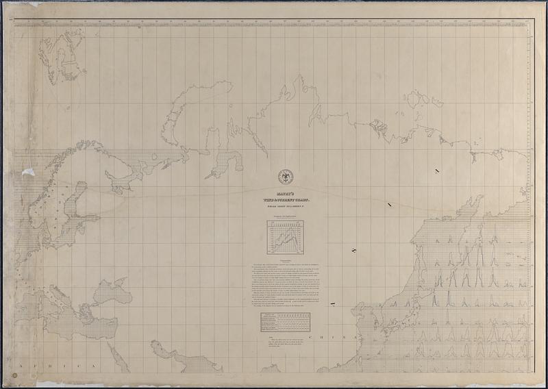
Maury's Wind and Current Chart, Whale Sheet
Maury, Matthew Fontaine, 1806-1873 · 1852
Chart of whale sightings compiled by MF Maury A.M. which shows the north east hemisphere, primarily taken up by Europe and Asia, with one section of the Western Pacific Ocean using multiple line graphs to show whale sightings over the course of a year in various zones of the ocean.
🔒
Order museum-quality prints
Sign in to order prints, canvas, and more of this work. Browsing and full-resolution downloads stay free.