Digital Commonwealth — New Bedford Free Public Library
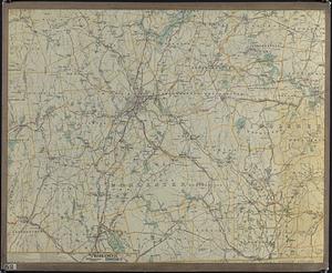
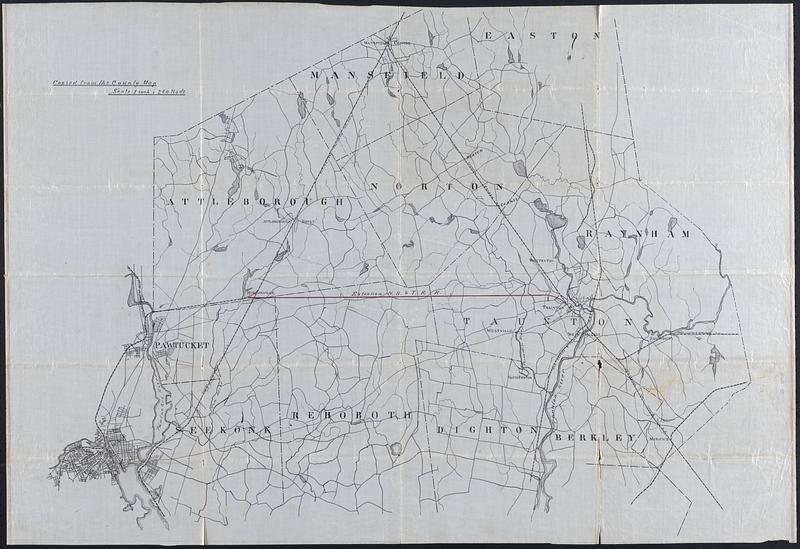
County Map, MA and RI
[ca. 1900–1939]
Hand drawn copy of a map of the counties and railroads of Massachusetts and Rhode Island. Note at top left "Copied from the county map, scale 1 inch = 240 rods. Black ink on semi-transparent coated paper
🔒
Order museum-quality prints
Sign in to order prints, canvas, and more of this work. Browsing and full-resolution downloads stay free.