Digital Commonwealth — New Bedford Free Public Library
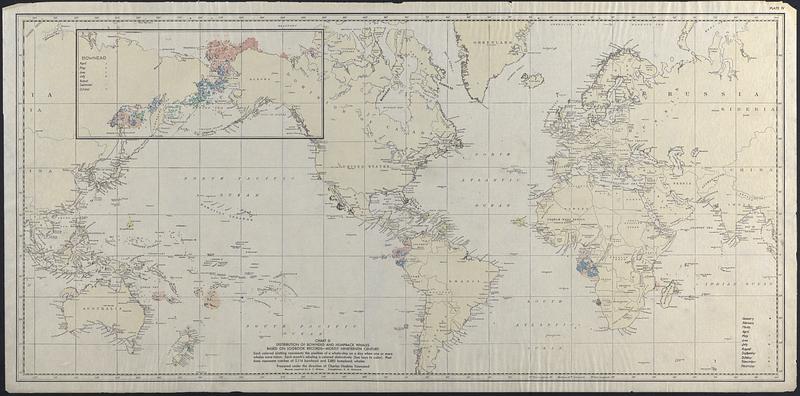
Distribution of Bowhead and Humpback Whales based on logbook records - mostly nineteenth century
Townsend, Charles Haskins, 1859-1944 · [ca. 1900–1939]
Map of the world showing the distribution of bowhead and humpback whales based on logbook records , mostly nineteenth century. Each colored plotting represents the position of a whale ship on a day when one or more whales were taken. Each month's whaling is colored distinctly. Positions represent catches of 5,114 bowhead and 2,883 humpback whales. Prepared under the direction of Charles Haskins Townsend
🔒
Order museum-quality prints
Sign in to order prints, canvas, and more of this work. Browsing and full-resolution downloads stay free.