Digital Commonwealth — Boston Public Library
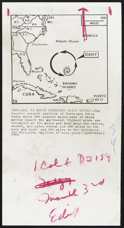
Where Hurricane Daisy Whirls--Map locates present position of Hurricane Daisy today about 600 statute miles east of Miami moving toward the northwest. Highest winds are estimated at 100 miles per hour near the center, shaded, and gales extend out 300 miles to the east and north and 100 miles to the southwest.
Associated Press · [ca. October 1962]
[Information from item housing] Weather: Hurricane: Maps: Wire Photos
🔒
Order museum-quality prints
Sign in to order prints, canvas, and more of this work. Browsing and full-resolution downloads stay free.