Digital Commonwealth — Boston Public Library
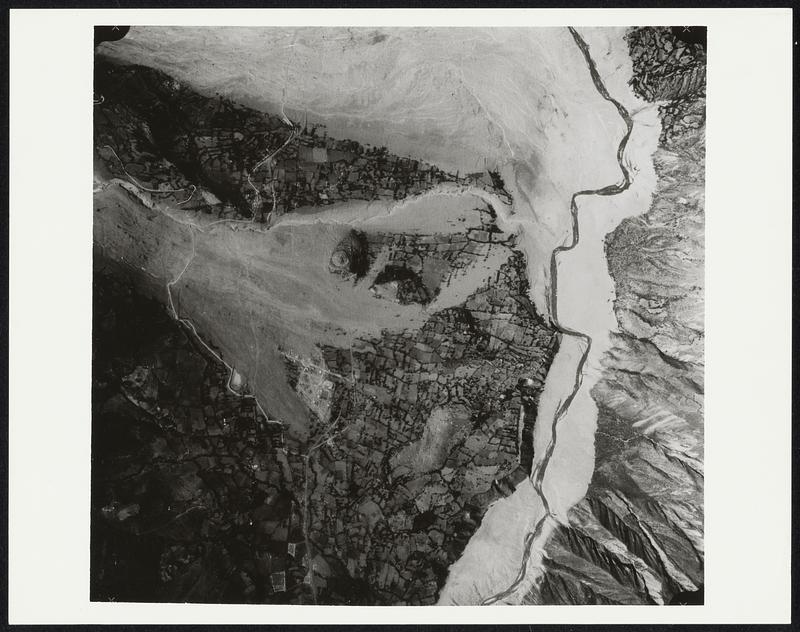
Washington, D.C. -- A National Aeronautics and Space Administration Lockhead Electra equipped to acquire black and white, color and color infrared photography and thermal infrared imagery, was used to obtain data over the area in northern Peru which suffered the most severe earthquake damage May 31, 1970. The government of Peru had accepted the United States National Aeronautics and Space Administration's offer to send one of its remote sensing aircraft to help assess damage resulting from the recent severe Peruvian earthquake. The data, in addition to helping the Peruvian government assess damage and plan reconstruction, will contribute also to the future application of the science of remote sensing to natural disasters. Color photograph taken 6000 feet above Yungay, showing the lobe of silt and granite boulders that buried the town. The bulls-eye pattern at right center denotes a terraced cemetery. Four palm trees may be seen about 1- 1/2 inches above the cemetery, where the faint path crosses the slide from the left.
United States. National Aeronautics and Space Administration · [ca. July 1970]
[Information from item housing] Earthquakes - Peru June 1970
🔒
Order museum-quality prints
Sign in to order prints, canvas, and more of this work. Browsing and full-resolution downloads stay free.