Digital Commonwealth — Boston Public Library
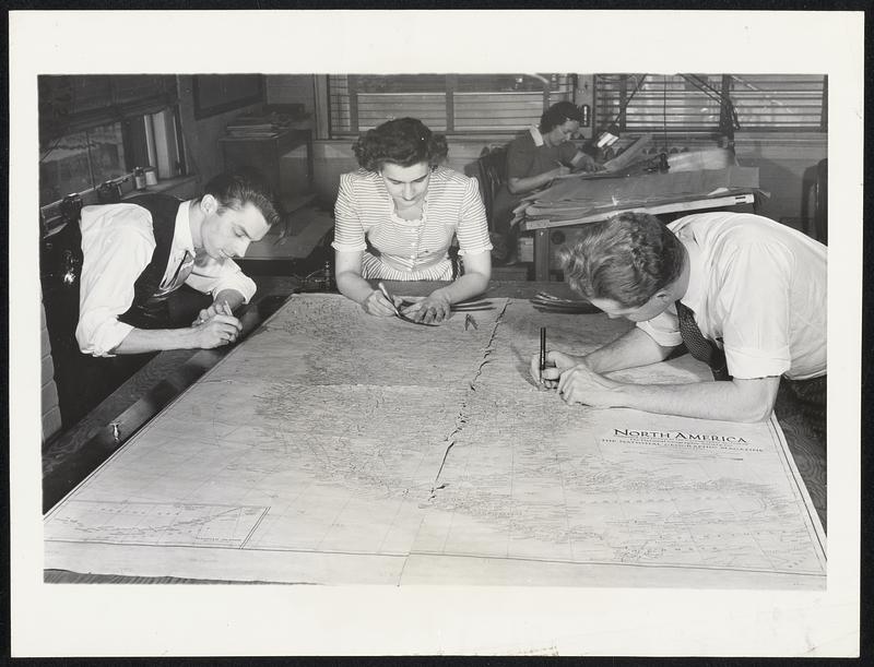
War Increases Map-Makers' Work. Maps of every section of the world are being turned out in increased numbers these days by the National Geographic Society to help the nation's armed forces fight the Axis. Kept up to date with the changing world events, the maps are in constant demand by governmental agencies and the Army and Navy and frequently must be reprinted to fill requests despite an initial printing of 1,500,000 copies. Among maps reprinted within the past year were those of Asia, Europe, the Near East, Mexico, Central America, the West Indies, South America and the Pacific and Indian Oceans. Behind each map is months of work by a score or more of cartographers, draftsmen, research workers and checkers. Here are draftsmen assembling finished drawings for a map of North America
Wide World Photos, Inc. · [ca. May 1942]
[Information from item housing] Maps & Mapmaking
🔒
Order museum-quality prints
Sign in to order prints, canvas, and more of this work. Browsing and full-resolution downloads stay free.