Digital Commonwealth — Boston Public Library
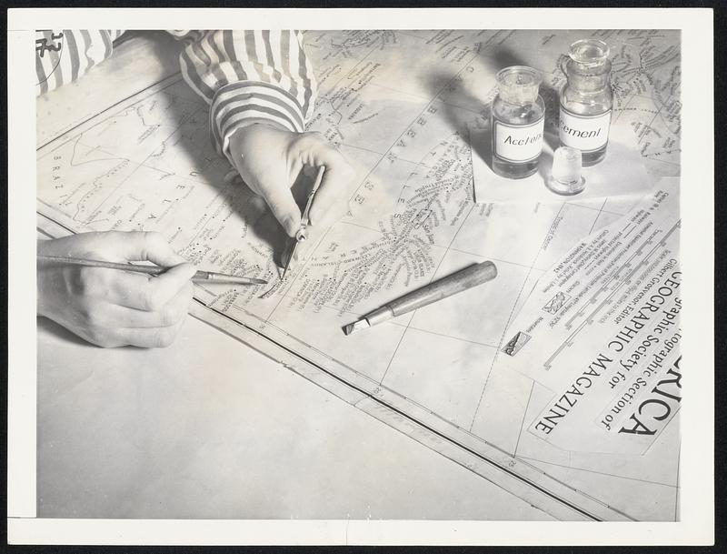
War Increases Map-Makers' Work. Hours of painstaking work go into the making of National Geographic Society maps used by the Army, Navy, governmental agencies and others. The hands shown pasting names on an original draft of a map of North America in this picture belong to Ann McTigue, draftsman. By coincidence she is pasting the name "Martinique" to the map to indicate the location of the French-owned Island in the Caribbean Sea over which the United States has expressed concern since the rise of Pierre Laval to control in France
Wide World Photos, Inc. · [ca. May 1942]
[Information from item housing] Maps & Mapmaking
🔒
Order museum-quality prints
Sign in to order prints, canvas, and more of this work. Browsing and full-resolution downloads stay free.