Digital Commonwealth — Boston Public Library
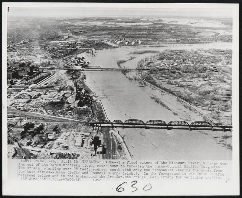
Threatened Area -- The flood waters of the Missouri River, already coming out of its banks upstream (top), moves down to threaten the Omaha-Council Bluffs, Ia., area. The stream, standing over 28 feet, courses south with only the floodwalls keeping the water from the twin cities--Omaha (left) and Council Bluffs (right). In the foreground is the Union Pacific railroad bridge and in the background the Ark-Sar-Ben bridge, main artery from vehicular traffic.
Associated Press · [ca. April 1952]
[Information from item housing] Floods: 1952: Wire Photos
🔒
Order museum-quality prints
Sign in to order prints, canvas, and more of this work. Browsing and full-resolution downloads stay free.