Digital Commonwealth — Boston Public Library
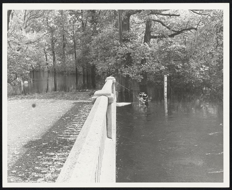
Surface water depth gauge at edge of Ipswich River at Salem Rd Topsfield which reads 40.5 ft above sea level. The normal for this time of year is 24.6 ft.
[ca. October 1962]
[Information from item housing] Floods: Oct. 1962: Misc. Photos
🔒
Order museum-quality prints
Sign in to order prints, canvas, and more of this work. Browsing and full-resolution downloads stay free.