Digital Commonwealth — Boston Public Library
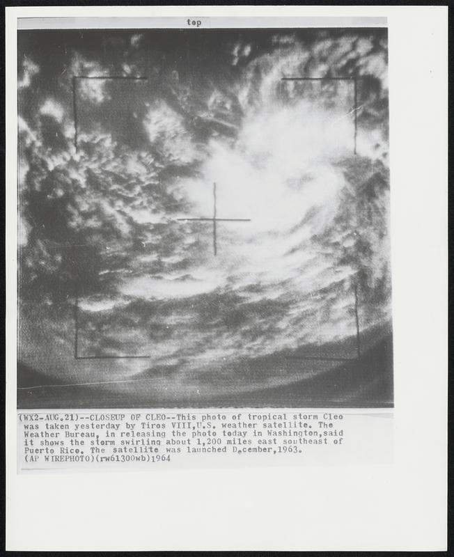
This photo of tropical storm Cleo was takes yesterday by Tiros VIII, U.S. weather satellite. The Weather Bureau, in releasing the photo today in Washington, said it shows the storm swirling about 1,200 miles east southeast of Puerto Rico. The satellite was launched December, 1963.
Associated Press · [ca. August 1964]
[Information from item housing] Weather: Hurricane: Cleo, Aug 1964: Wire Photos
🔒
Order museum-quality prints
Sign in to order prints, canvas, and more of this work. Browsing and full-resolution downloads stay free.