Digital Commonwealth — Boston Public Library
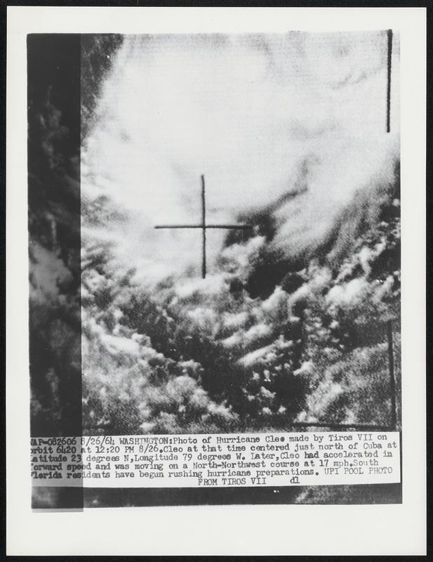
Photo of Hurricane Cleo made by Tiros VII on orbit 6420 at 12:20 PM 8/26. Cleo at that time centered just north of Cuba at latitude 23 degrees N, Longitude 79 degrees W. Later, Cleo had accelerated in forward speed and was moving on a North-Northwest course at 17 mph. South Florida residents have begun rushing hurricane preparations.
United Press International · [ca. August 1964]
[Information from item housing] Weather: Hurricane: Cleo, Aug 1964: Wire Photos
🔒
Order museum-quality prints
Sign in to order prints, canvas, and more of this work. Browsing and full-resolution downloads stay free.