Rijksmuseum
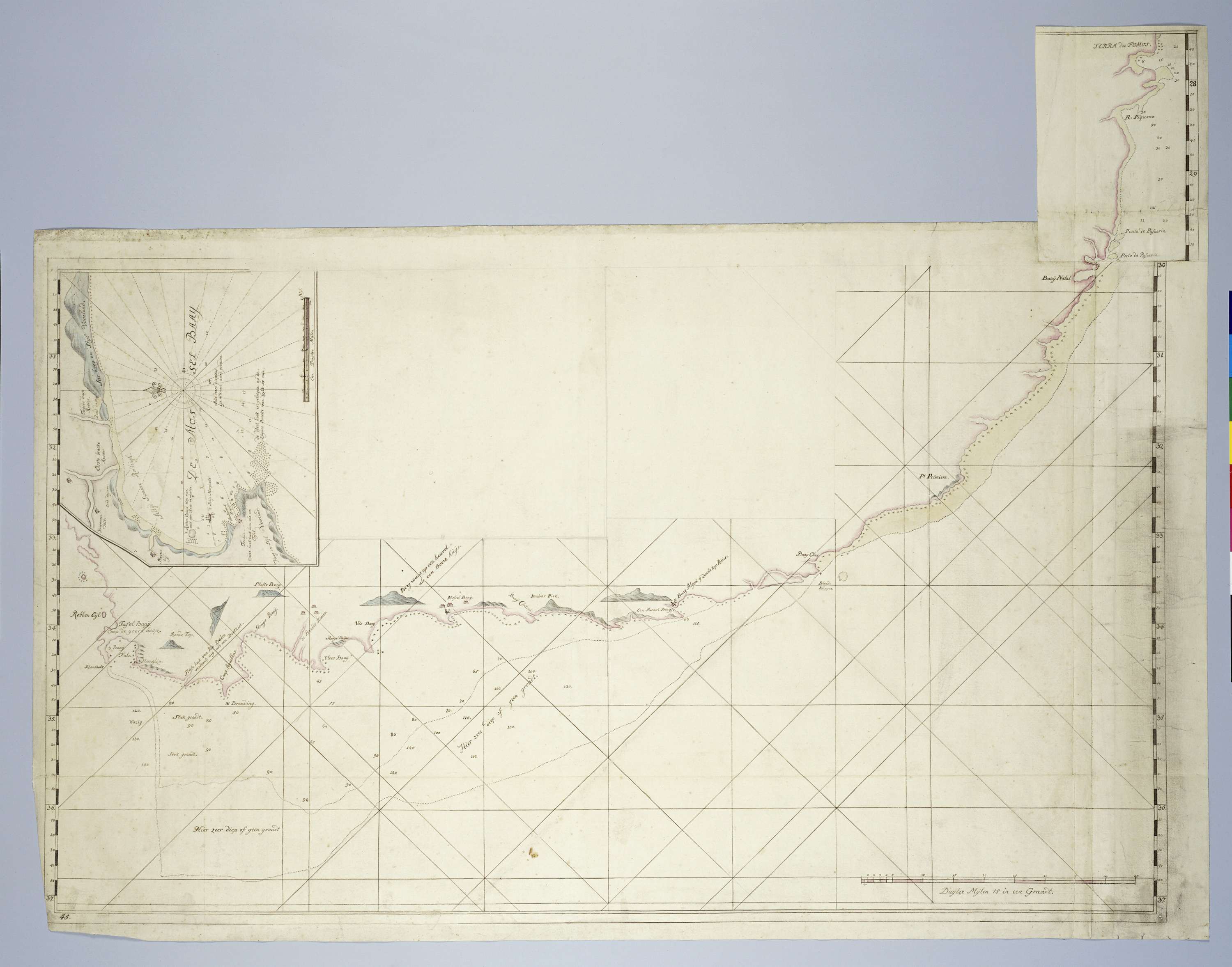
Map of the Coast from Saldanha Bay to Richard’s Bay, with a detailed map of Mossel Bay inserted
Unknown artist
De kaart dekt globaal de kustlijn vanaf Saldanhabaai in het westen tot Richardsbaai in het oosten; ontsloten d.m.v. een gidskaart, verdeeld in linker- en rechterhelft, genummerd I en II, met breedtegraden; de detailkaart van Mosselbaai is verdeeld in een boven- en benedenhelft, genummerd A en B.
🔒
Order museum-quality prints
Sign in to order prints, canvas, and more of this work. Browsing and full-resolution downloads stay free.


