Rijksmuseum
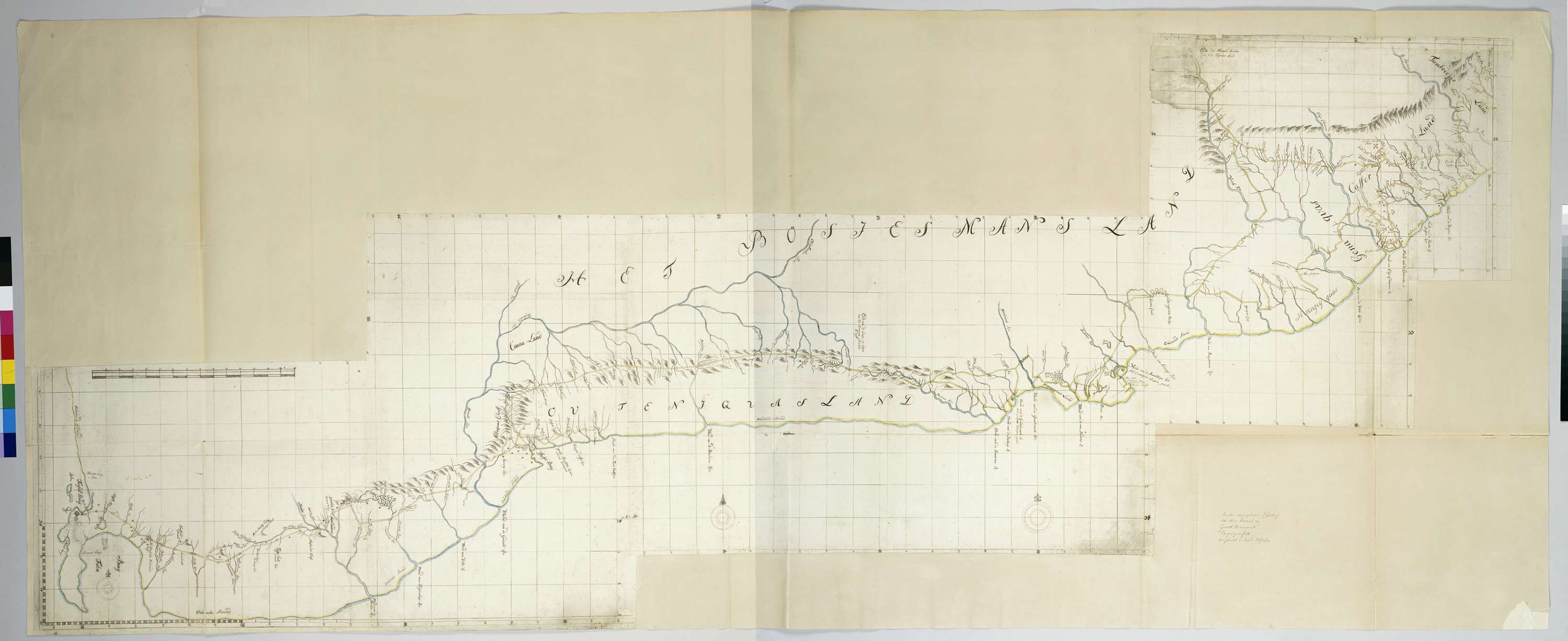
Map of the South Coast of the Cape from Table Bay to the Great Kei River.
Unknown artist
De kaart dekt de kuststrook en het aangrenzende binnenland vanaf het westelijk deel van Tafelbaai tot de mond van de Grote Keirivier; tekst ontsloten door middel van een gidskaart met graadaanduidingen.
🔒
Order museum-quality prints
Sign in to order prints, canvas, and more of this work. Browsing and full-resolution downloads stay free.


