Digital Commonwealth — Boston Public Library
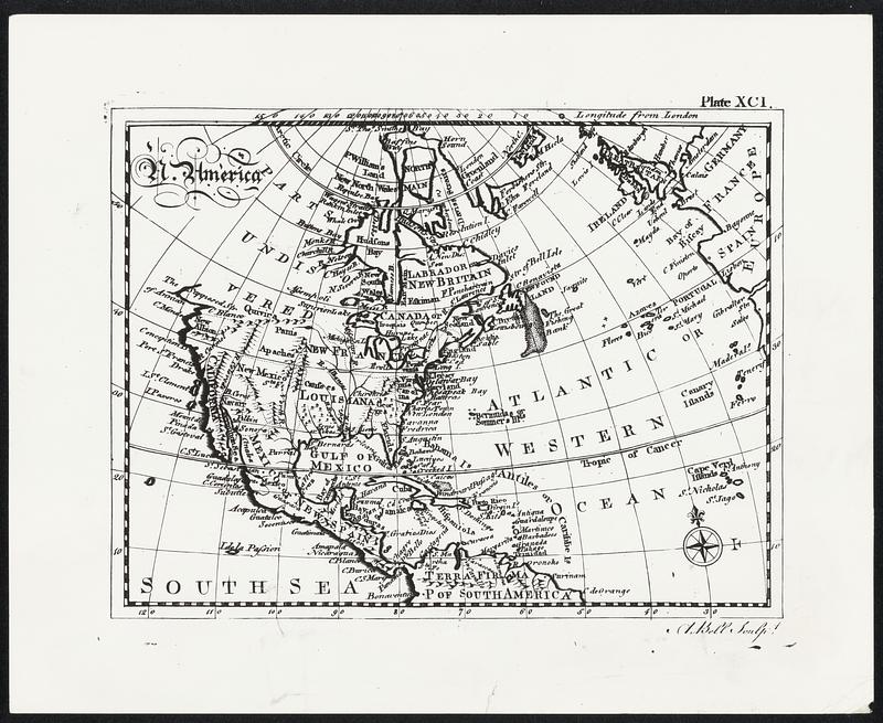
Map of North America printed in the first edition of the "encyclopedia Britannica". This is the way George Washington, who bought a copy of the work, must have thought the shape and size of the continent.
[ca. 1908–1972]
[Information from item housing] Map & Mapmaking
🔒
Order museum-quality prints
Sign in to order prints, canvas, and more of this work. Browsing and full-resolution downloads stay free.