Digital Commonwealth — Boston Public Library
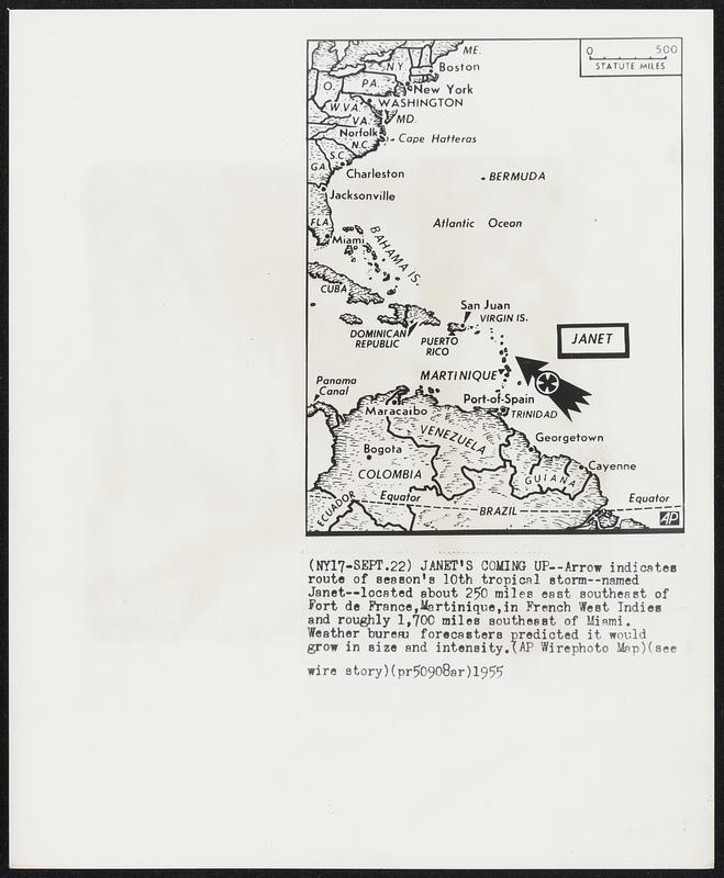
Janet's Coming up--Arrow indicates route of season's 10th tropical storm--named Janet--located about 250 miles east southeast of Fort de France, Martinique, in French West Indies and roughly 1,700 miles southeast of Miami. Weather bureau forecasters predicted it would grow in size and intensity.
Associated Press · [ca. September 1955]
[Information from item housing] Weather: Hurricane: Maps: Wire Photos
🔒
Order museum-quality prints
Sign in to order prints, canvas, and more of this work. Browsing and full-resolution downloads stay free.