Digital Commonwealth — Boston Public Library
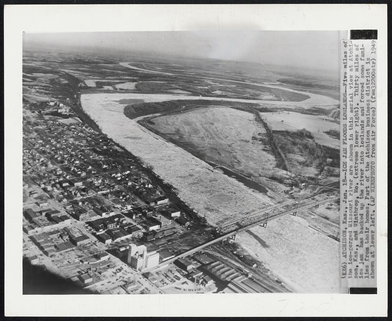
Ice Jam Floods Lowlands--Five miles of the ice-gorged Missouri river are shown in this aerial view at Atchison, Kas., and Winthrop, Mo. (extreme lower right). Thirty miles of ice jam has backed up the river into lowlands and forced some families from their homes. Part of the Atchison business district is shown at lower left.
Associated Press · [ca. January 1949]
[Information from item housing] Weather: Ice Jams & Floes: Wire Photos
🔒
Order museum-quality prints
Sign in to order prints, canvas, and more of this work. Browsing and full-resolution downloads stay free.