Digital Commonwealth — Boston Public Library
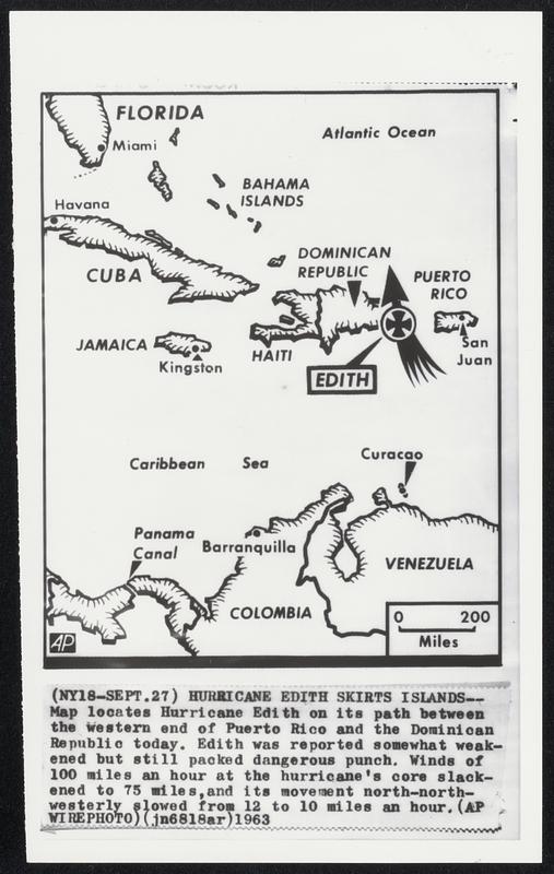
Hurricane Edith Skirts Islands--Map locates Hurricane Edith on its path between the western end of Puerto Rico and the Dominican Republic today. Edith was reported somewhat weakened but still packed dangerous punch. Winds of 100 miles an hour at the hurricane's core slackened to 75 miles, and its movement north-northwesterly slowed from 12 to 10 miles an hour.
Associated Press · [ca. September 1963]
[Information from item housing] Weather: Hurricane: Maps: Wire Photos
🔒
Order museum-quality prints
Sign in to order prints, canvas, and more of this work. Browsing and full-resolution downloads stay free.