Digital Commonwealth — Boston Public Library
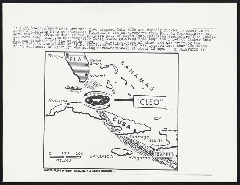
Hurricane Cleo crossed Cuba 8/26 and rapidly picked up power as it aimed a glancing blow at southeast Florida. In its wake, reports from Port Au Prince, Haiti said more than 100 persons died in the southern city of Cayes (map indicates area)where Cleo levelled more than half the buildings. The Coast Guard reported 8/26 that the 525-foot tanked Ohio Sun was disabled off the Florida Keys,100 miles southwest of Miami and was drifting towards Cleo to the south. At 1 P.M. (EDT),the storm’s center was located less than 200 miles south southeast of Miami. It was moving north-northwest at about 12 mph.
United Press International · [ca. August 1964]
[Information from item housing] Weather: Hurricane: Maps: Wire Photos
🔒
Order museum-quality prints
Sign in to order prints, canvas, and more of this work. Browsing and full-resolution downloads stay free.