Digital Commonwealth — Boston Public Library
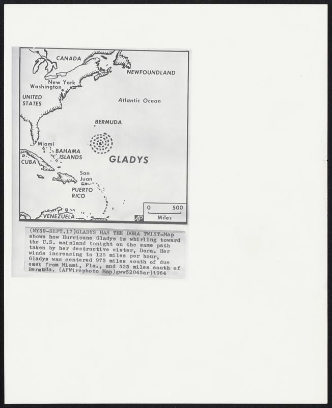
Gladys Has The Dora Twist-Map shows how Hurricane Gladys 18 whirling toward the U.S. mainland tonight on the same path taken by her destructive sister, Dora. Her winds increasing to 125 miles per hour, Gladys was centered 975 miles south of due east from Miami, Fla., and 525 miles south of Bermuda.
Associated Press · [ca. September 1964]
[Information from item housing] Weather: Hurricane: Maps: Wire Photos
🔒
Order museum-quality prints
Sign in to order prints, canvas, and more of this work. Browsing and full-resolution downloads stay free.