Digital Commonwealth — Boston Public Library
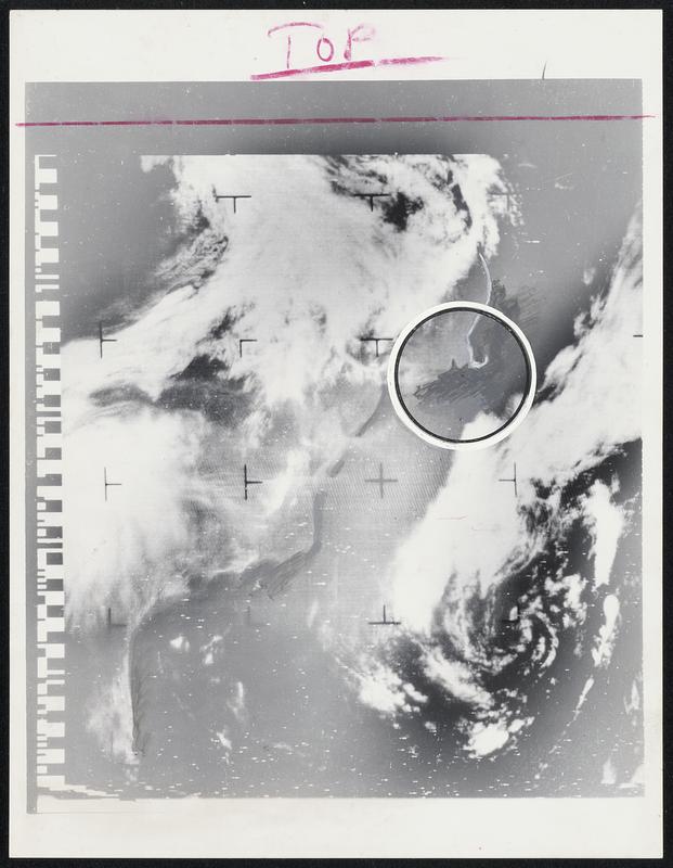
The Eastern Seaboard as seen in daylight by the new Nimbus weather satellite pinpoints Cape Cod between the two white cloud banks running from top right lower left. The left hand bank appears to follow the Atlantic coastline from northern Maine and New Brunswick down to Cape Hatteras. Picture supplied by Air Force Cambridge Laboratory has been retouched by artist to show coastal outline more clearly. Photo was received on Automatic Picture Transmission Equipment supplied by NASA.
United States. National Aeronautics and Space Administration · [ca. May 1966]
[Information from item housing] Earth
🔒
Order museum-quality prints
Sign in to order prints, canvas, and more of this work. Browsing and full-resolution downloads stay free.