Digital Commonwealth — Boston Public Library
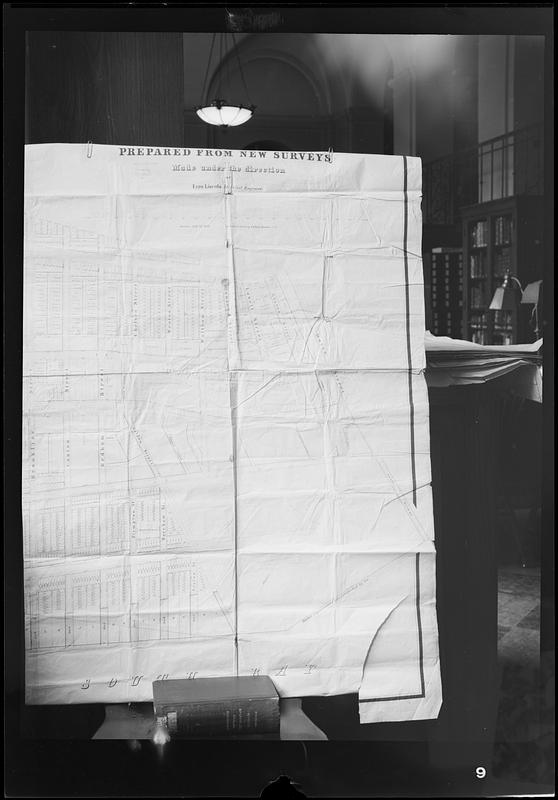
Copy negative of portion of 1848 map "Plan of city lands and streets s.w. of Dover St : prepared from new surveys"
Bunting, Bainbridge · [ca. 1941–1967]
🔒
Order museum-quality prints
Sign in to order prints, canvas, and more of this work. Browsing and full-resolution downloads stay free.