Digital Commonwealth — Boston Public Library
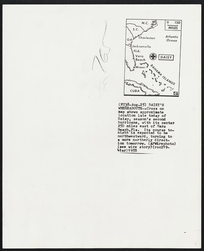
Daisy's Whereabouts--Cross on map shows approximate location late today of Daisy, season's second hurricane, with its center 250 miles east of Vero Beach, Fla. Its course tonight is expected to be northwestward, turning to a more northerly direction tomorrow.
Associated Press · [ca. August 1958]
[Information from item housing] Weather: Hurricane: Maps: Wire Photos
🔒
Order museum-quality prints
Sign in to order prints, canvas, and more of this work. Browsing and full-resolution downloads stay free.