Digital Commonwealth — Boston Public Library
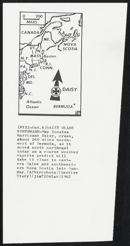
Daisy Heads Northward-Map locates hurricane Daisy, cross, about 260 miles northwest of Bermuda, as it moved north northeast today on a course weather experts predict will take it close to eastern Maine and southwestern Nova Scotia late Sunday.
Associated Press · [ca. October 1962]
[Information from item housing] Weather: Hurricane: Maps: Wire Photos
🔒
Order museum-quality prints
Sign in to order prints, canvas, and more of this work. Browsing and full-resolution downloads stay free.