Digital Commonwealth — Boston Public Library
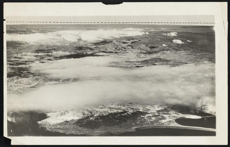
Columbus Was right, All Right. The camera is backing up Christopher Columbus in the matter of the earth's rotundity. Here is a photo taken from a naval plane flown by Lieut. T.R. Frederick at an elevation of 18,000 feet, showing a portion of the pacific coast country near San Diego. Calif., with a marked falling away of the horizon at the sides. The middle of the horizon in the picture is .03 of an inch higher then the ends.
Associated Press · [ca. March 1931]
[Information from item housing] Earth
🔒
Order museum-quality prints
Sign in to order prints, canvas, and more of this work. Browsing and full-resolution downloads stay free.