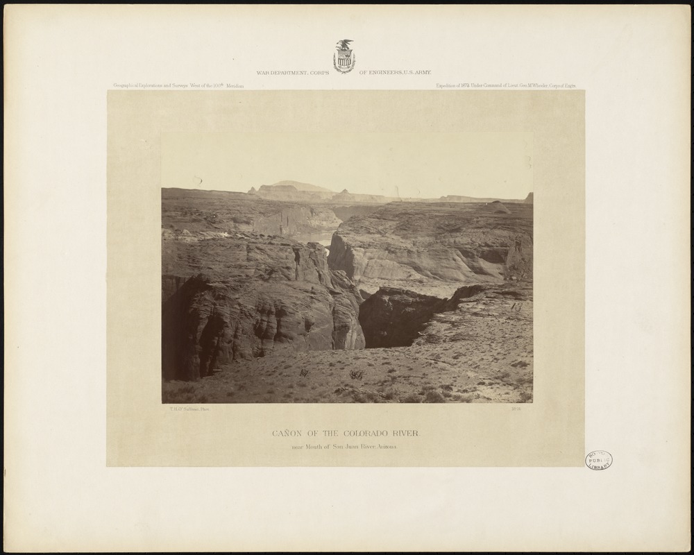
Cañon of the Colorado River, near mouth of San Juan River, Arizona
O'Sullivan, Timothy H., 1840-1882 · [1873]
Descriptive legend of view no. 14: The mouth of the San Juan River, where it empties into the Colorado, is one of the most inaccessible portions of our continent. Several parties of the expedition have, in different years, working from several directions, attempted to reach this important geographical point for the purpose of locating it accurately, but have never approached nearer than eight miles, being thwarted by the net-work of side cañons with which the Colorado Valley is here reticulated. These often impassable gorges cut the plateau and intersect each other in the most erratic manner, and would therefore seem to be fissures of volcanic origin; but closer study shows that they have been washed out by the erosive currents of the inland sea, of which this plateau was once the bottom. The surface of the country is dry and desolate, possessing little vegetation. The walls of the cañon are about 600 feet high and of a grayish-brown color. The accompanying view looks up the Colorado from a stand-point 30 miles below the San Juan, whose mouth is beyond the distant mountain of the background. This peak, which is an important landmark to travelers, is 12,000 feet above the sea, and rises nearly 8,000 feet above the surrounding plains. From its peculiar shape it is called by some people the Cerro Calabaza or Squash Mountain; by others it is known as Navajo Mountain, and Blue Mountain.
Sign in to order prints, canvas, and more of this work. Browsing and full-resolution downloads stay free.