Leiden University Libraries
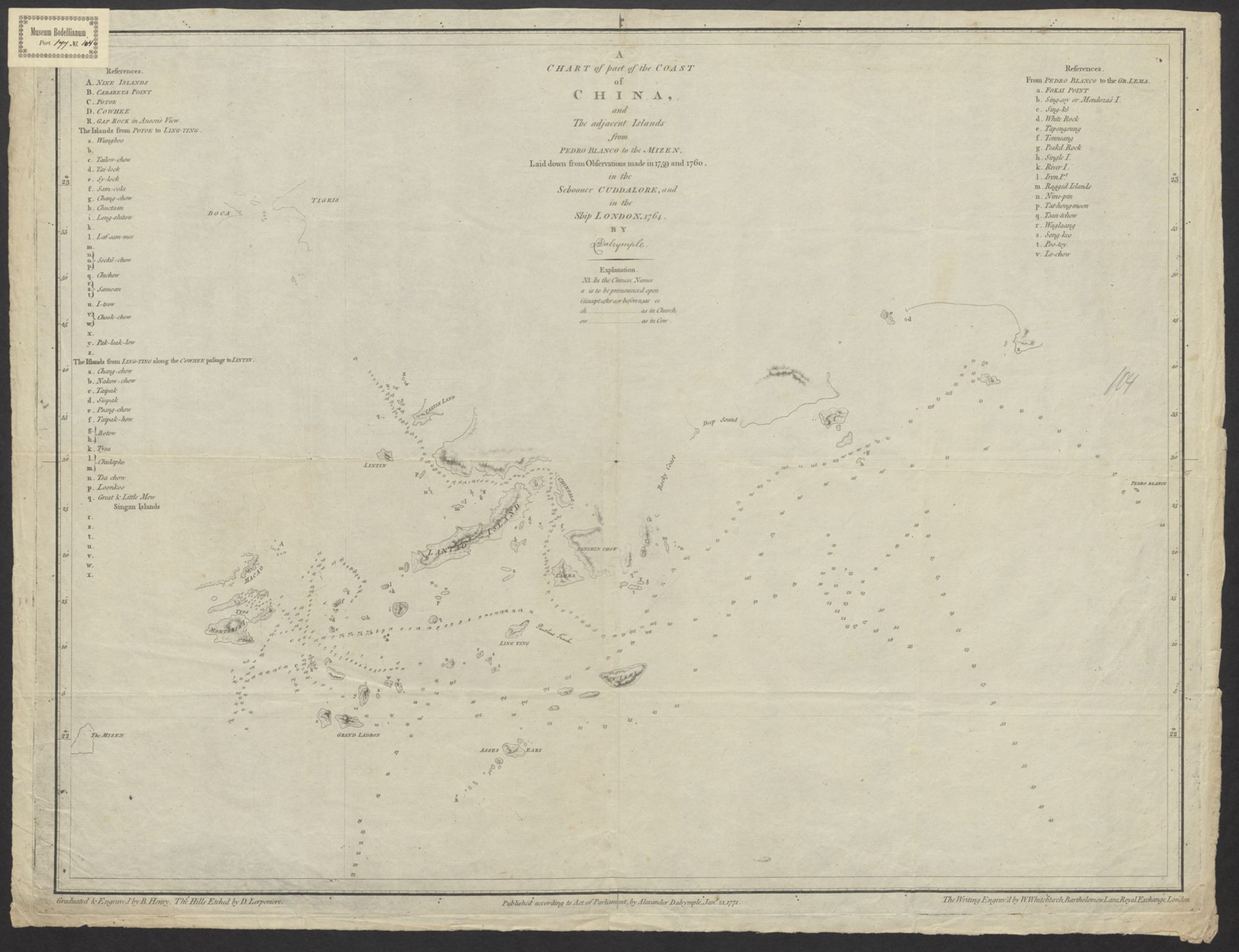
A chart of part of the Coast of China and The adjacent Islands from Pedro Blanco to the Mizen: Laid down from Observations made in 1759 and 1760 in the Schooner Cuddalore, and in the ship London, 1764
Dalrymple, Alexander, (1737-1808) (mapmaker)
Scale: Not given.
🔒
Order museum-quality prints
Sign in to order prints, canvas, and more of this work. Browsing and full-resolution downloads stay free.


