Postmuseum
Karta
Unknown artist
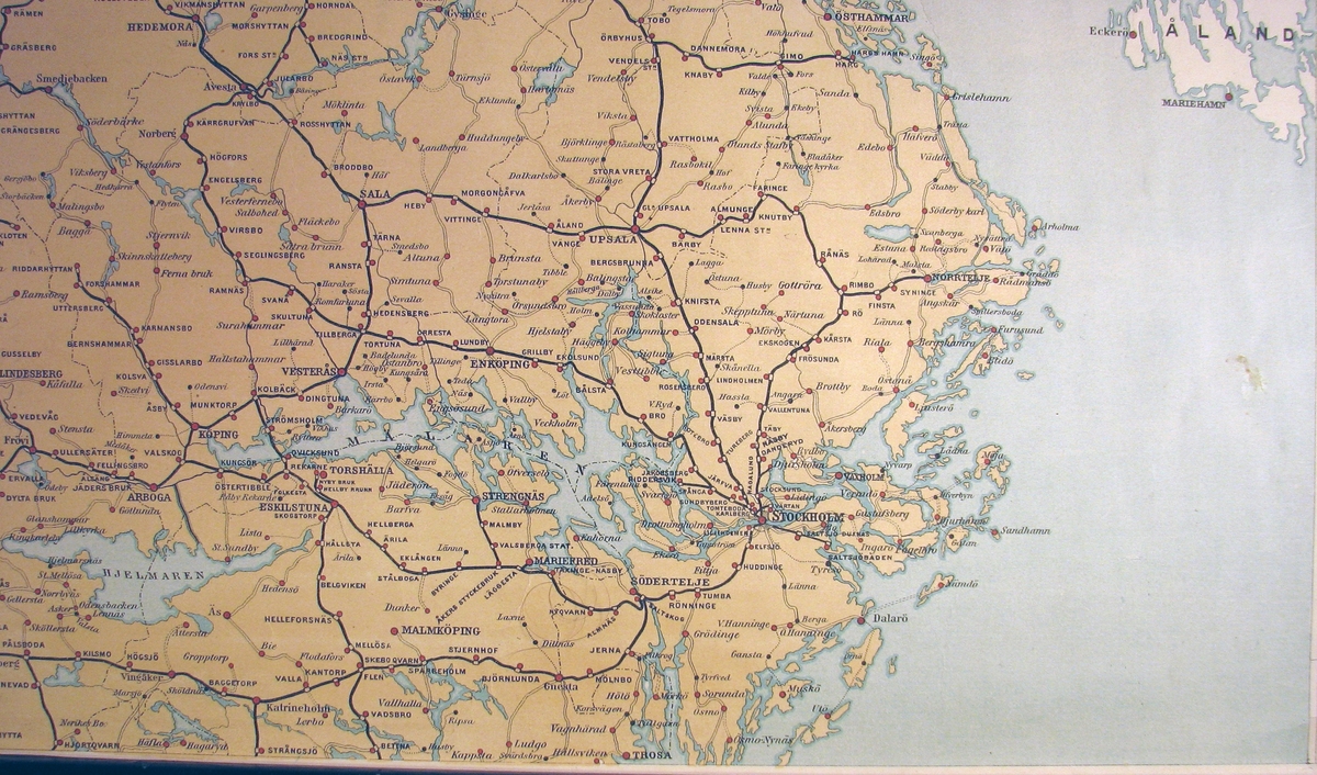
Map of Middle Sweden, from Sundsvall in the north to Trosa in the south, printed on the plansch from 1896. The map is 1: 80000 scale and is coloured in yellow, blue and red. Postal roads are excellent on the map, both nuclear mail, walking post, rural letter lines and railway. The map is pasted on tapestry.
🔒
Order museum-quality prints
Sign in to order prints, canvas, and more of this work. Browsing and full-resolution downloads stay free.