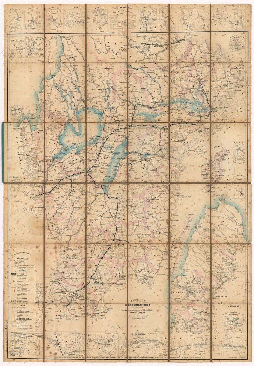
Karta
Albert Bonniers förlag
A weight map of Southern Sweden’s communications in the form of railways, postal services, telegraph stations, channels and roads. The northern part of the country is on a smaller scale. The map is printed in black and white. County boundaries, lakes and larger ones have been marked with paint. Places are marked in red or the place names are underlined in green. The map is stiffened on tapestry. In a folded format, the map can be likened to a green book with hard pearls. At the bottom of the map is the following: "Sweden’s relations with regard to Postverket, Jernväg and Telegraf lines, Canaler, Roads etc. According to official information, the contract was summarised. 4de öfversedda and added the edition in 1864. Albert Bonnier’s publishing house. The back of the map is stamped with the library of the General Postal Board.
Sign in to order prints, canvas, and more of this work. Browsing and full-resolution downloads stay free.