Karta
C. F. Current
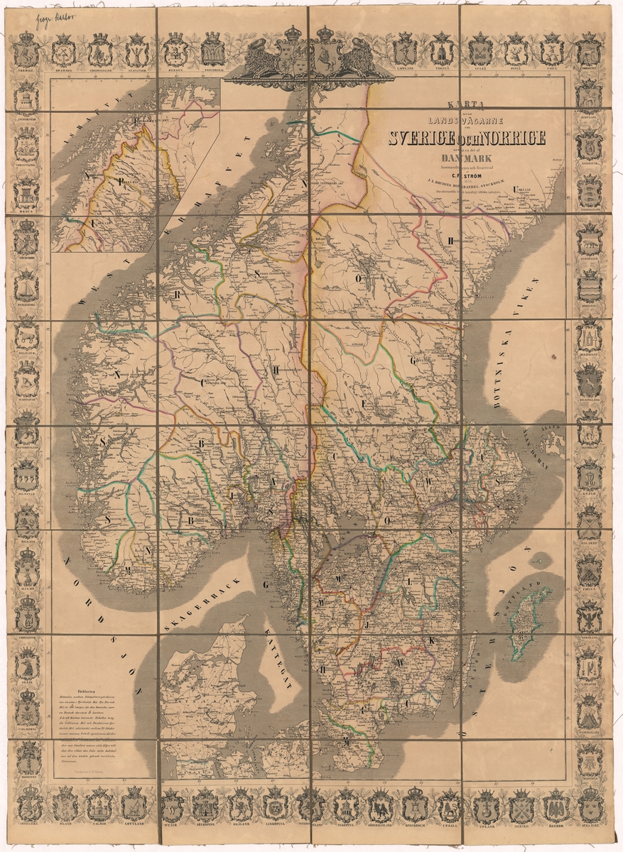
A weight map of the southern half of Sweden and Norway, and the north of Denmark. The map is printed in black and white. The county borders and Sweden’s land border have been marked with colour. Cities with post offices are excellent in red. A Union symbol with the Swedish and Norwegian national coat of arms, as well as the Swedish and Norwegian landscape and city weapons form a frame around the map. The map is stiffened on tapestry. The map is kept in an associated case with a brief description of the map printed on its top. The top right corner of the map reads the following text: “Karta öfver landsvägarne uti Sverige and Norrige and a del af Danmark. Converted and engraved by C. F. Power 1853. J. L. Brudin’s bookstore, Stockholm. 2dra öfversedda and significantly expanded edition.” In the lower left corner of the map there is an explanation: The distance between Gästgifvaregårdarne äro exposed in Fjerdedels Mil. A Norrsk Mil is six hundredths longer than the Swedish one, but a Dansk is three tenths shorter. On those to the Map hearing Tables mean the figures Mil and the points fjerdedels Mil, the distance between 2ne Städer in the same Table the horizontella Columnen at the hat one The name of the city stands, followed until it happens to the other going vertical Columnen. The back of the map is stamped with the library of the General Postal Board.
Sign in to order prints, canvas, and more of this work. Browsing and full-resolution downloads stay free.