Postmuseum
Karta
Unknown artist
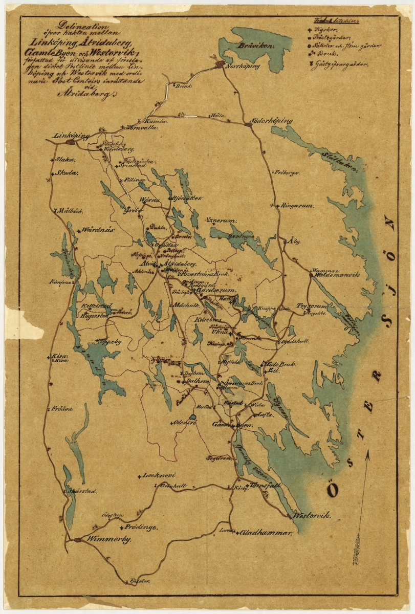
Map or “delineation” showing the area between Lköpping, Åtvidaberg, Gamleby and Västervik. The map shows a proposed direct line of mail between Lköpping and Västervik after the establishment of the post office in Åvidaberg 1855-12-01 (though as a postal expedition). This map is a copy of a map attached to a letter dated 1855-04-23, from the Postal Board to Kungl Maj. The original is in the Swedish National Archives. The map is drawn and charred by hand.
🔒
Order museum-quality prints
Sign in to order prints, canvas, and more of this work. Browsing and full-resolution downloads stay free.