Postmuseum
Karta
Unknown artist
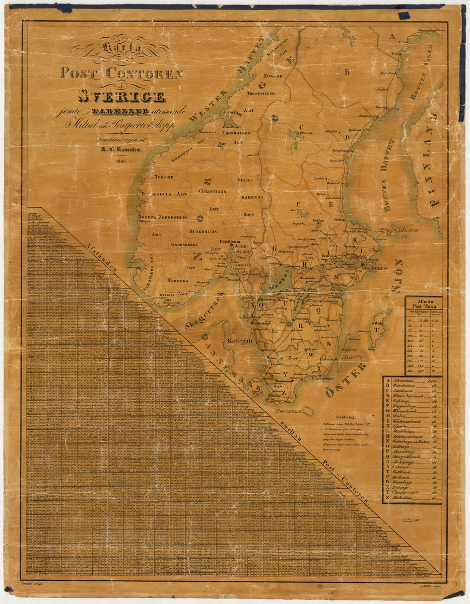
Postmap showing the post offices in Sweden in 1836. The map shows the entire Scandinavian peninsula. In a table, the distances between the post offices in the country can be read out, and their postal postage. The map on paper made up on tapestry. Scale 1: 3,000,000. The map is damaged.
🔒
Order museum-quality prints
Sign in to order prints, canvas, and more of this work. Browsing and full-resolution downloads stay free.