Postmuseum
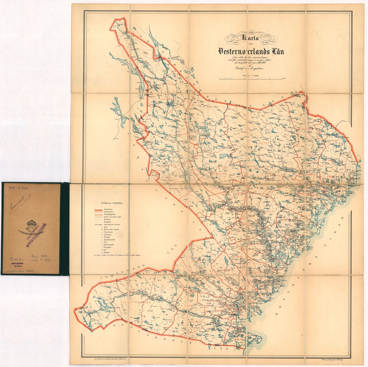
Karta
Gustaf von Engeström
Map of Västernorrland County compiled from older maps and drawn up after investigations on the field in 1899-1900 by Gustaf von Engeström. The map is cut up on white fabric and bound in dark green clot stitch with gilded text. The dimensions of the sleeve 190 x130 mm. The map has been intended for the “session table” according to note on the inside of the pearl.
🔒
Order museum-quality prints
Sign in to order prints, canvas, and more of this work. Browsing and full-resolution downloads stay free.