Digital Commonwealth — Boston Public Library
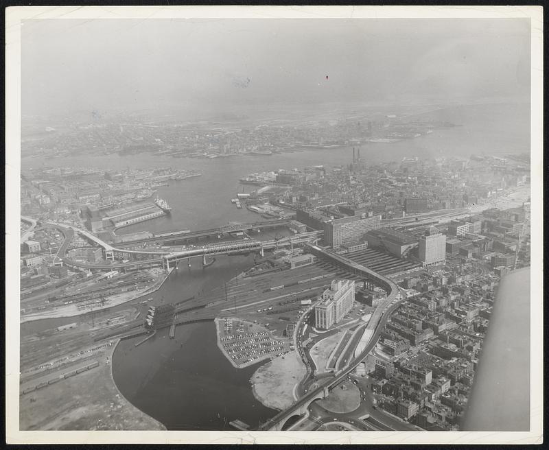
The Boston Central Artery - aerial view. Traffic circle lower right will divert traffic via tunnel and/or surface street for motorists going to Causeway street, and to the elevated roadway (rear of M.D.P.W. Building, 100 Nashua street), crossing the Boston & Maine R.R. tracks, where motorists destined for northerly points will cross the Charles River on the elevated roadway and continue to the Mystic River Bridge. At the North Station Building (center right) another level will carry motorists southward Haymarket square (upper right center). From this point, construction will continue to Fort Hill square and Broadway, and eventually tie-in with the Southeast Expressway.
[ca. May 1954]
[Information from item housing] Highways: Boston: Central Artery
🔒
Order museum-quality prints
Sign in to order prints, canvas, and more of this work. Browsing and full-resolution downloads stay free.