Digital Commonwealth — Boston Public Library
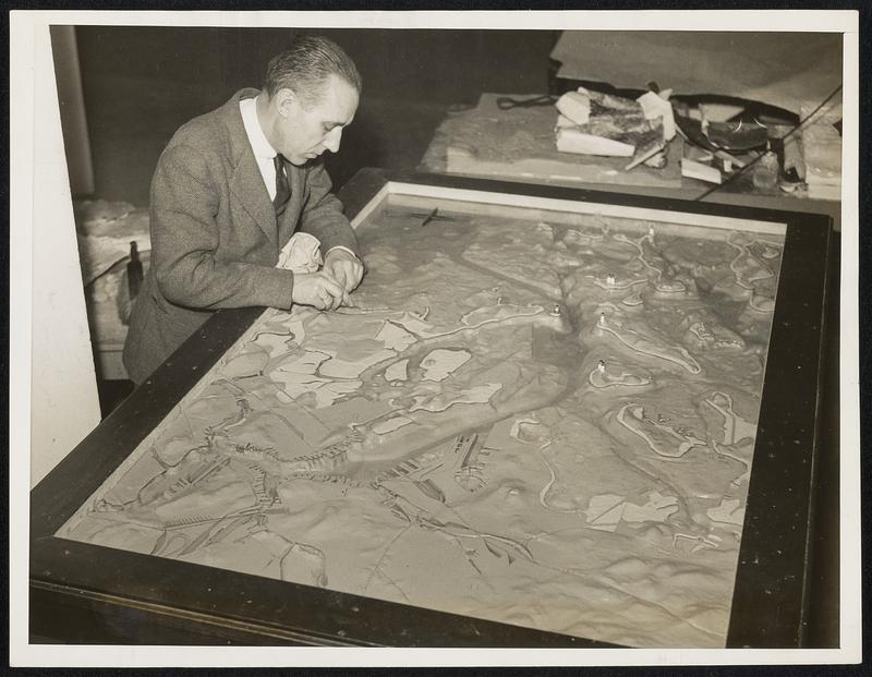
Boston Bureau tech professor completes relief map of Boston Harbor: Prof. Arthur C. Watson of M. I. T. who has been working at Harvard College, School of Geography, for over a year on a large relief map of Boston Harbor has just completed the map which he has been building for the Boston Port authority. The map built to a scale of 1 to 10,000 shows all the channels in correct scale depth, the docks, islands, and is even complete to the lighthouses which actually flash white and rod lights. The map covers an area of 70 square miles and is mounted in a frame six by four feet. The small light houses are made of quartz glass and carry the light from electric light bulbs under the map. It is complete in every detail even to bridges and railroad lines. Prof. Watson is here shown as he put the finishing touches on the map before it leaves Harvard for the custom house in Boston where it will be housed as an exhibit to show visitors at a glance the entire harbor.
Wide World Photos, Inc. · [ca. March 1938]
[Information from item housing] Maps & Mapmaking
🔒
Order museum-quality prints
Sign in to order prints, canvas, and more of this work. Browsing and full-resolution downloads stay free.