Digital Commonwealth — Boston Public Library
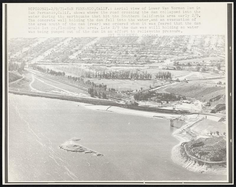
Aerial view of Lower Van Norman Dam in San Fernando, Calif. shows where the road crossing the dam collapsed into the water during the earthquake that hit the Southern California area early 2/9. The concrete wall holding the dam fell into the water, and an evacuation of the area south of the dam (rear) was ordered when it was feared that the dam would let go, flooding the area. Late 2/9 the dam was still holding as water was being pumped out of the dam in an effort to relieve the pressure.
United Press International · [ca. February 1971]
[Information from item housing] Earthquakes Misc.
🔒
Order museum-quality prints
Sign in to order prints, canvas, and more of this work. Browsing and full-resolution downloads stay free.