Digital Commonwealth — Boston Public Library
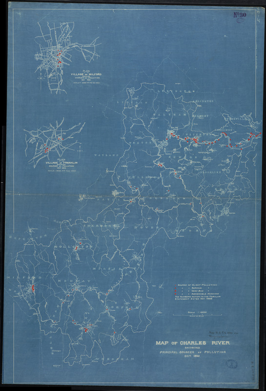
Map of Charles River showing principal sources of pollution
Boston (Mass.). Engineering Dept · 1892
Crossing Boundaries exhibition: The 1892 blueprint map by the Boston Engineering Department takes an analytical approach, pinpointing sources of pollution of the Charles River and grading them from “Serious” to “Abominable Nuisance.” Today, a concerted cleanup effort has led to a rating by the Environmental Protection Agency of “A-minus,” and plans for a swimming venue on the Charles are underway.
🔒
Order museum-quality prints
Sign in to order prints, canvas, and more of this work. Browsing and full-resolution downloads stay free.