Digital Commonwealth — Boston Public Library
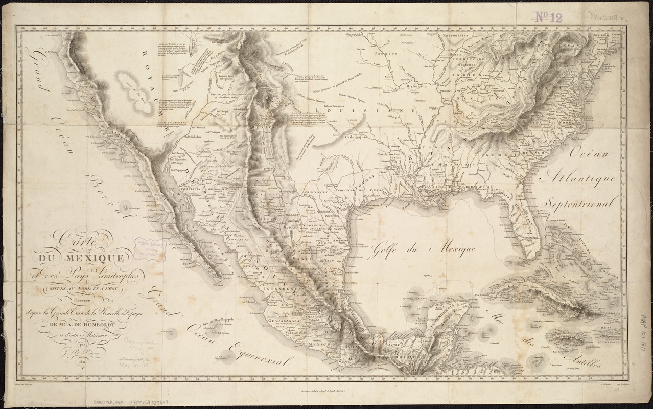
Carte du Mexique et des pays limitrophes situés au nord et à l'est
Poirson, J. B. (Jean Baptiste), 1760-1831 · 1811
Baron Alexander von Humboldt was a German geographer who visited the region in 1803 and researched unpublished cartographic resources and documents in the Mexican archives. The resulting map provided Europeans and Americans with the most comprehensive printed geography of Mexico to date, recognizing the names and lands of Native Americans living on the country’s northern frontier (today’s southwestern United States).
🔒
Order museum-quality prints
Sign in to order prints, canvas, and more of this work. Browsing and full-resolution downloads stay free.