Digital Commonwealth — New Bedford Free Public Library
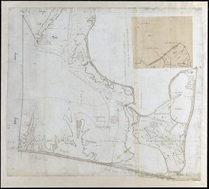
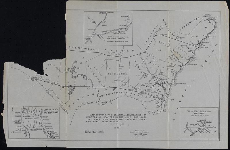
Map Showing the Original Boundries of Hampton as granted in the year 1638 also the towns into which the original grant has since been divided
1894
Map of the original boundries of Hampton, New Hampshire and the towns into which it was divided. Inset: Part of the old town of Hampton, The Hampton Falls Hill settlement, Part of north Hill Parish now north hampton. Removed from "History of the Town of Hampton, New Hampshire from its settlement in 1638, to the autumn of 1892" by Joseph Dow. Map prepared by Lucy E. Dow and A.W. Locke from published maps and ancient records.
🔒
Order museum-quality prints
Sign in to order prints, canvas, and more of this work. Browsing and full-resolution downloads stay free.