Digital Commonwealth — New Bedford Free Public Library
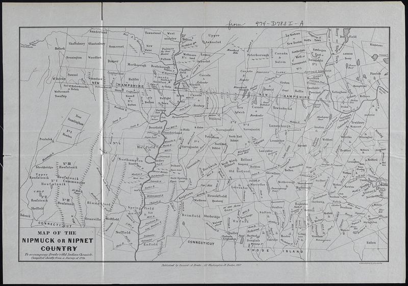
Map of the Nipmuck or Nipet Country
1867
Map of Nipmuck (Nipmuc) or Nipet (Nippenet) country to accompany Drakes Old Indian Chronicle, compiled chiefly from a survey of 1774, what is now central Massachusetts and adjecent areas of Connecticut, Vermont, and New Hampshire. Removed from 974-D783I-A
🔒
Order museum-quality prints
Sign in to order prints, canvas, and more of this work. Browsing and full-resolution downloads stay free.