Digital Commonwealth — New Bedford Free Public Library
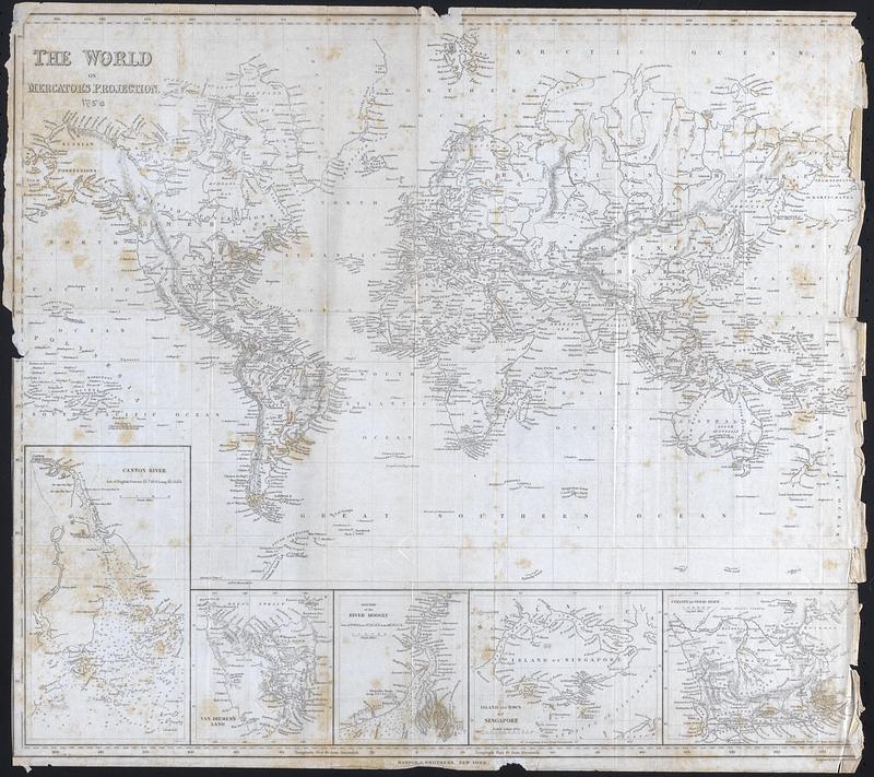
The World on Mercator's projection
Copley, Charles · 1850
Printed Map of the world with countries and major cities identified. Insets: Canton River, Van Dieman's Land, Mouths of the River Hoogly, Island and Town of Singapore, Colony of Good Hope
🔒
Order museum-quality prints
Sign in to order prints, canvas, and more of this work. Browsing and full-resolution downloads stay free.