Digital Commonwealth — New Bedford Free Public Library
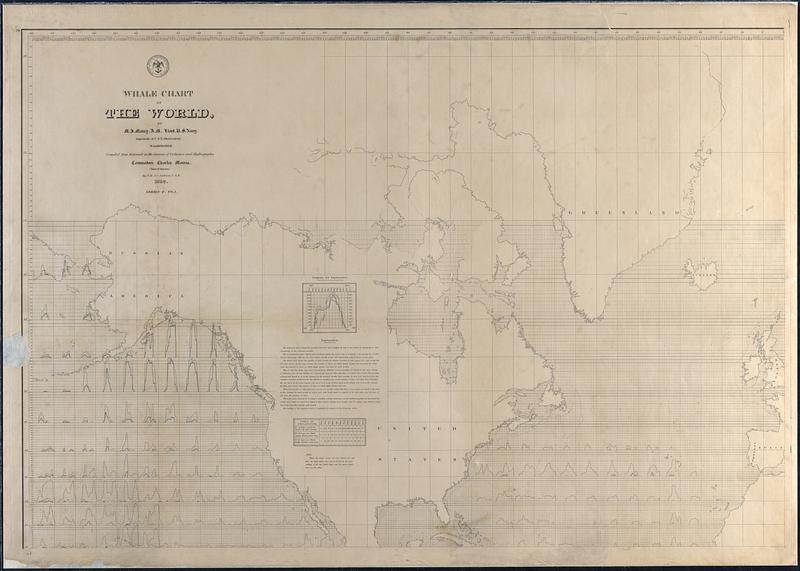
Whale Chart of the World
Maury, Matthew Fontaine, 1806-1873 · 1852
Chart of whale sightings compiled by MF Maury A.M. which shows the north west hemisphere from Alaska to Spain including the Pacific and Atlantic Oceans. Chart uses a multiple line graphs to show the number of whales spotted over the course of a year in various zones of the ocean.
🔒
Order museum-quality prints
Sign in to order prints, canvas, and more of this work. Browsing and full-resolution downloads stay free.