Digital Commonwealth — New Bedford Free Public Library
Unknown
1700–1799
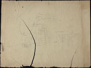
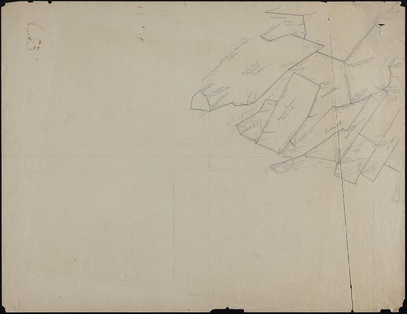
Hand drawn map of an unknown area, possibly South Dartmouth, includes plot sizes and property owners (Jonathan Russell, Edmund Sherman, Thomas Briggs, Abraham Tucker, etc.). One map in 2 sheets. Possibly part of the Crane Survey recreations
🔒
Order museum-quality prints
Sign in to order prints, canvas, and more of this work. Browsing and full-resolution downloads stay free.