Digital Commonwealth — New Bedford Free Public Library
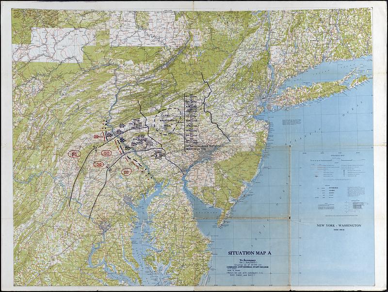
Situation Map A
Command and General Staff School (U.S.) · 1941
Strategic map of the East coast of USA from Washington DC to CT. Includes roads, trains, cities, and some topographic information. The Focus of this map is on the symbols depicting the positions of a military conflict near the Susquehanna River. This map was likely used for training purposes
🔒
Order museum-quality prints
Sign in to order prints, canvas, and more of this work. Browsing and full-resolution downloads stay free.