Digital Commonwealth — New Bedford Free Public Library
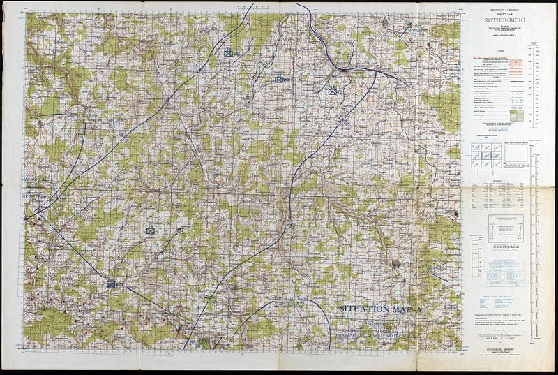
Situation Map A
Command and General Staff School (U.S.) · 1943
Strategic map of Rothenburg Germany. Includes roads, trains, cities, and some topographic and terrain information. The Focus of this map is on the symbols depicting the positions of a military conflict. This map was likely used for training purposes.
🔒
Order museum-quality prints
Sign in to order prints, canvas, and more of this work. Browsing and full-resolution downloads stay free.